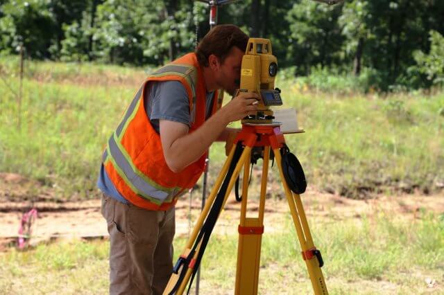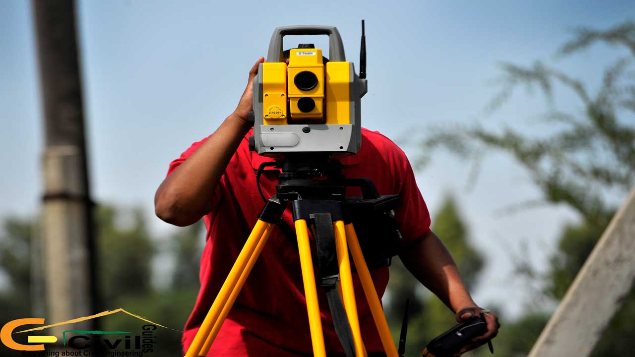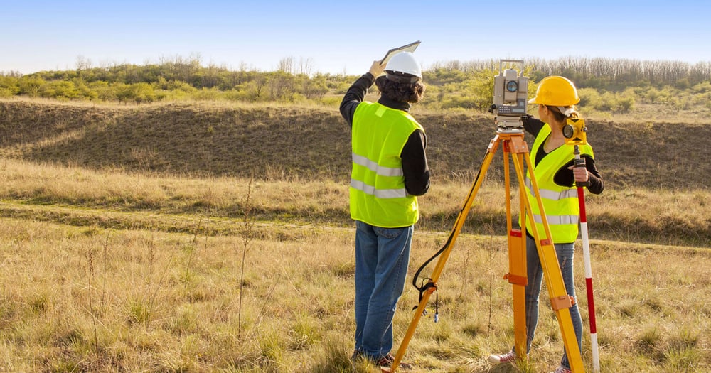
Surveying is the process of mapping and analysing land, objects, and environments to identify their actual and relative position, dimension, angulation, and direction. This activity is essential for various purposes, including construction, mapping, and legal documentation. Surveyors who understand building construction and infrastructure development concepts typically undertake it. The process of surveying can be approached in multiple ways, and in this blog, we’ll explore the key difference between plane and geodetic surveying.
What is Plane Surveying?

Plane surveying is a methodology in which measurements are taken on a relatively flat surface or two-dimensional plane. In this type of survey, the earth's curvature is neglected because the surveyed area is small enough that it doesn’t significantly impact calculations.
It uses local coordinate systems relevant to specific regions and is preferred to survey an area of less than 250 square kilometres. Many countries abide by the International Organiszation for Standardizsation (ISO) guidelines for plane surveying, specifically ISO 19111, which focuses on spatial referencing by coordinates.
Key Applications
To contemplate the difference between plane survey and geodetic survey, let’s first go through the uses of plane surveying as follows.
-
Land Development
Plane surveying is crucial for determining boundaries and plot dimensions. This ensures that all development is confined within the rightfully owned areas of plot developers.
-
Construction Scheduling
Before the construction of buildings, roads, or infrastructure projects, plane surveying provides the essential base map and layout. It helps architects and engineers establish the right locations, dimensions, and angles required for all structural elements.
-
Infrastructure and Utility Projects
Plan surveying assists in mapping existing infrastructure, such as roads, water lines, and electrical networks, enabling planners to optimise new projects without interfering with existing systems.
-
Topographic Mapping
It is used for creating topographic maps which depict features like hills, streams, buildings, and other surface features. This information is essential for designing and planning drainage systems, and landscaping.
-
Property Boundary Surveys
A key difference between geodetic and plane surveying is the latter’s preferability to easily establish clear legal boundaries and resolve disputes, real estate transactions, and property ownership documentation.
Benefits and Drawbacks
Before diving into the peculiarities of the difference between geodetic surveying and plane surveying, let’s indulge in the pros and cons of the plane surveying methodology.
|
Advantages |
Disadvantages |
|
1. High accuracy for smaller areas |
1. Limited to smaller areas |
|
It provides precise data for localised projects, ideal for construction, boundary surveys, and detailed mapping. |
It is only suitable for small areas due to unaccounted earth curvature, which affects accuracy over long distances. |
|
2. Cost-effective |
2. Inapplicable for large-scale projects |
|
Plan surveying is more affordable than geodetic surveying, as it doesn’t require complex calculations for the earth’s curvature. |
It is not fit for use in large projects (e.g., highways, railways), where geodetic surveying is essential for maintaining accuracy. |
|
3. Reduced Complexity |
3. Lesser usability of data |
|
Easier and quicker to perform, requiring fewer advanced tools and simpler calculations. |
Data from plan surveys is limited to localised areas and can be misleading for larger-scale geospatial analyses. |
Bonus Read: Plane Table Surveying: Types, Methods, Instruments & Objectives
What is Geodetic Surveying?

Geodetic surveying takes into account the earth's curvature, acknowledging three dimensions. This is the key difference between plane and geodetic surveying, as the latter considers the globe’s spherical shape, making it suitable for large-scale projects with an area of more than 250 square kilometres.
It enables surveyors to define and map large territories with precision by relying on coordinate systems that use the earth’s centre as a reference, like the World Geodetic System (WGS 84). The Global Navigation Satellite Systems (GNSS)- like GPS are used for exact positioning data.
Key Applications
The difference between plane survey and geodetic survey can be effectively grasped by reading through the applications of geodetic surveying methodology as mentioned below.
-
National and Regional Mapping
Geodetic surveying assists in curating maps of countries, states, and large regions. It offers correct and consistent data, forming the foundation for most geographical and topographical maps used globally.
-
Satellite and GPS Systems
The Global Positioning System (GPS) relies on geodetic surveying for positioning data, as satellites track coordinates based on a global referencing model. This is critical for navigation, remote sensing, and geospatial applications.
-
Mega Projects
Large infrastructure projects such as highways, railways, pipelines, and bridges require geodetic surveying to ensure accurate alignment over long distances. It is one of the core difference between geodetic survey and plane survey where the earth's curvature can cause errors in straight-line distances, which geodetic techniques correct.
-
Military and Aerospace Applications <H4>
For military operations and aerospace missions that cover large territories or operate in global contexts, geodetic surveying provides necessary positional accuracy and spatial orientation across various geographic locations.
-
Geophysical Studies
Geodetic surveys help in studying the earth’s shape, gravitational field, and crustal movements, supporting scientific research in geology, seismology, and environmental sciences.
Benefits and Drawbacks
Now that you’ve understood the main points of difference between plane and geodetic surveying, let’s delve into the pros and cons of geodetic surveying style.
|
Advantages |
Disadvantages |
|
1. High accuracy for larger distances |
1. Requires complex calculations |
|
It accounts for the earth's curvature, providing spot-on data for large areas and critical projects. |
It involves complex mathematical models, calculations, and specialised knowledge to accurately process data. |
|
2. Compatible with GPS |
2. Inapplicable for large-scale projects |
|
GPS and other satellite systems rely on geodetic principles, making it essential for navigation and geolocation applications. |
It is more costly due to the advanced equipment and technologies required. |
|
3. Useful for scientific data |
3. Longer Time Requirements |
|
It is essential for studying earth’s crustal movements, topography, and environmental changes on a global scale. |
Data collection, processing, and analysis take more time, especially when compared to plane surveying for smaller areas. |
Comparison: Plane Surveying Vs Geodetic Surveying

To ensure that you make the right selection for your project requirements, here is a consolidated guide chalking out the difference between plane survey and geodetic survey. Keep reading to pinpoint the parameters that help you make the appropriate decision.
-
The most significant determinant in choosing between geodetic and plane surveying is the size of the area to be surveyed. For land parcels smaller than 250 km2, a plane survey is preferable. For plots bigger than 250 km2, a geodetic survey should be the go-to choice.
-
The level of precision required is another important factor. Geodetic surveys provide higher accuracy over large distances due to sophisticated calculations and instrumentation.
-
A pivotal difference between plane surveying and geodetic survey is the involvement of cost and resources. Geodetic surveys have a premium price whereas plane surveys are more budget-friendly.
-
The natural features of the land, such as elevation changes, slope, and terrain variability, play a role in determining the surveying method. For highly contoured sites, the geodetic method can be a better choice.
In Conclusion
To ensure precision and safety in the process, surveyors can start with a detailed project plan and site assessment to select the correct method and calibrate equipment. Also, they should regularly validate and crosscheck data to catch errors early and maintain open communication with stakeholders to confirm that data aligns with project goals. These practices streamline workflows, reduce risks, and enhance data reliability for any surveying project.
If you want to learn the latest methods of site surveying and project management, we suggest you check out the BIM Professional Course for Civil Engineers by Novatr. It is a unique program that offers insights into GIS mapping, BIM modelling, clash detection, and quantification- all relevant from the lens of a civil engineer. Renowned professionals who share real-world knowledge through case studies and mentorship in capstone projects deliver the course. Additionally, students get an opportunity to engage with each other and form solid industry connections. Also, Novatr provides placement assistance to help learners secure jobs in top construction companies.
Explore the course today!
Visit our Resources Page to keep up with the latest developments in the built environment.
Was this content helpful to you


