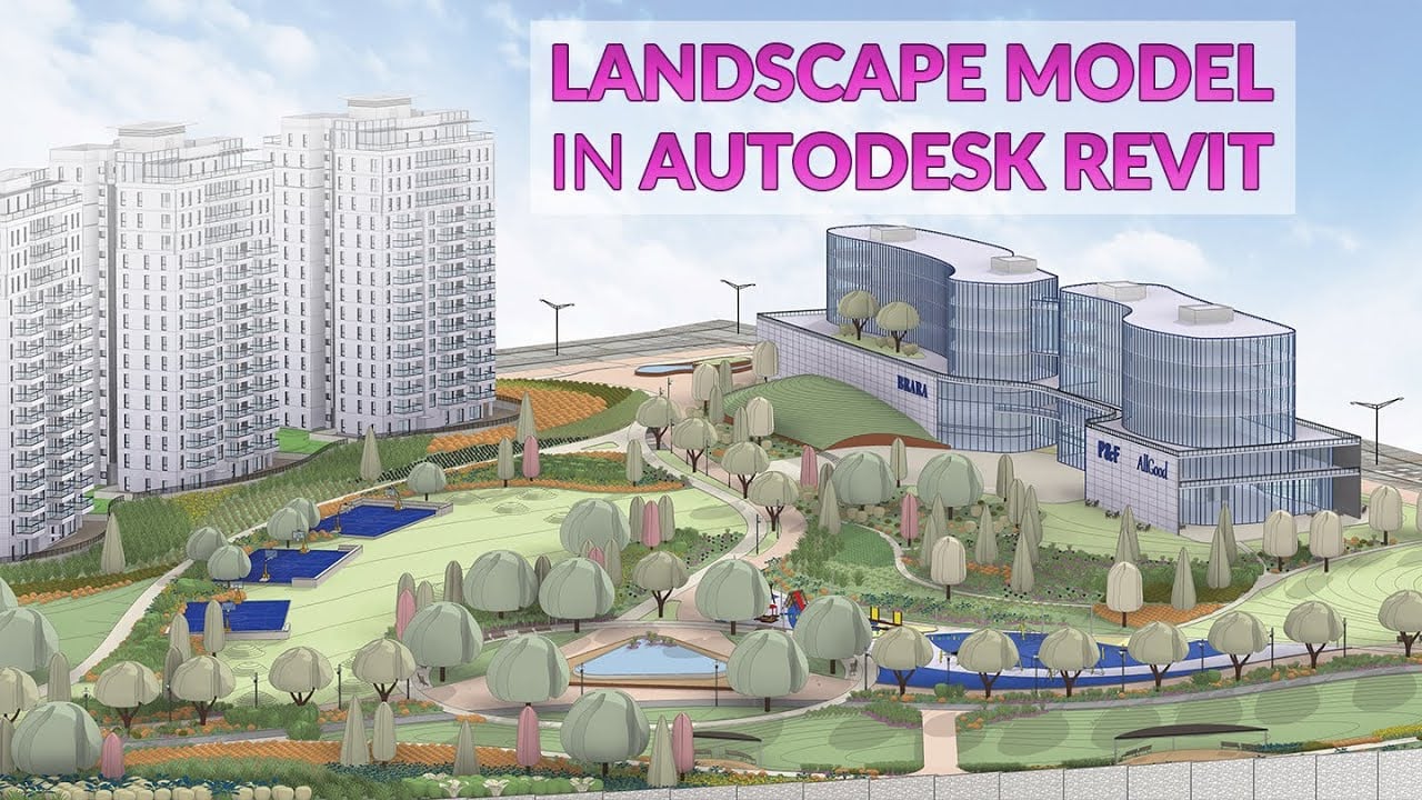
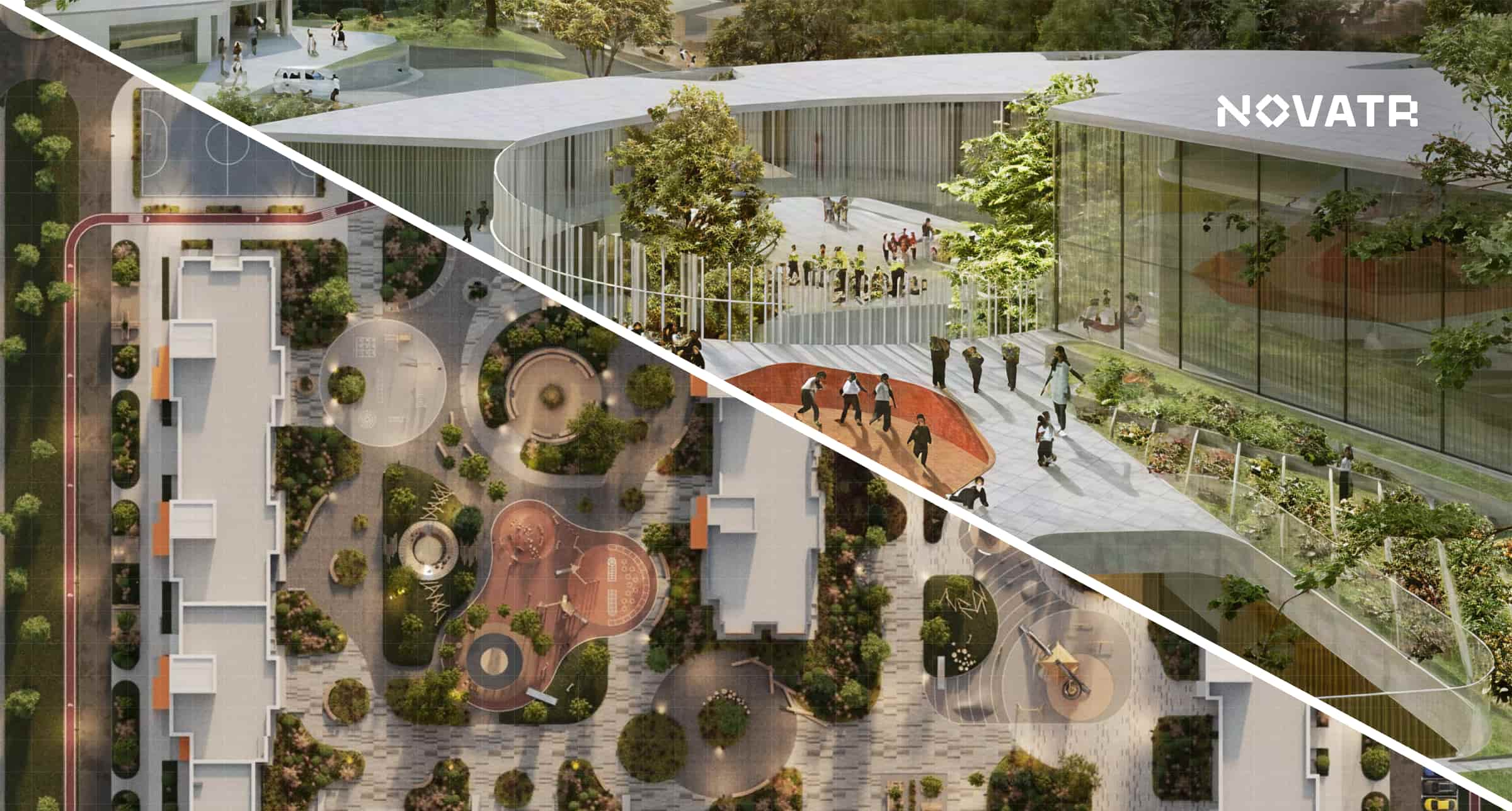
.png)
Landscape designers address critical issues such as urbanisation, climate resilience, and sustainable growth. Their work not only enhances the aesthetic and functional qualities of spaces but also promotes environmental health and social well-being. The work of a landscape designer spans a wide array of projects, from urban development to residential design, impacting both large-scale city landscapes and private gardens.
Well-designed landscapes also contribute to physical and mental health by providing spaces for exercise, relaxation, and social interaction. This makes it essential for the landscape designer to landscape design software to ensure accuracy and efficiency. Whether you’re an aspiring designer or a professional landscaper, these tools will help you visualize, model, and manage projects more efficiently.
Why Should You Learn Landscape Design Software?
Learning landscape design software is crucial as it enhances efficiency, accuracy, and creativity in the design process. These tools enable designers to create more accurate, detailed, and visually compelling designs, streamlining the workflow from concept to final presentation. Proficiency in the best-rated landscape design software allows for easier collaboration with clients and other professionals, facilitates quick landscape design ideas and modifications, and enables the creation of realistic 3D visualisations that help clients better understand proposed designs. Moreover, many software packages integrate features for plant selection, terrain modelling, and cost estimation, providing a comprehensive toolkit for project management.
The landscape design profession plays a vital role in shaping the built environment, ensuring that development is both human-centred and ecologically sound. Let’s check out some of the reasons why learning landscape design software is necessary for landscape designers:
Enhanced efficiency : These tools enable designers to create more accurate, detailed, and visually compelling designs, streamlining the workflow from concept to final presentation.
Amplified creativity : Landscape design software and tools facilitates quick landscape design ideas and modifications, increasing the time engineers can put into the creative aspect.
Increased accuracy : Creation of realistic 3D visualisations help clients better understand proposed designs with better accuracy and the landscape design to work with enhanced accuracy in the design process.
Seamless collaboration : Proficiency in the best-rated landscape design software allows for easier collaboration with clients and other professionals.
Moreover, many software packages integrate features for plant selection, terrain modelling, and cost estimation, providing a comprehensive toolkit for project management.
Also Read: Best Certificate Courses in Architecture (2026)
Key Factors to Consider Before Choosing Landscape Design Software
Before you commit to any landscape design software, it helps to compare tools based on how they fit your workflow, budget, and project needs. A simple software comparison will save you time later and make sure your landscape design tools support both creative and technical work.
Factors to consider:
-
Ease of use: Check whether the interface is beginner-friendly and how steep the learning curve is for daily design tasks.
-
Features and depth: Look for core functions like 2D drafting, 3D modeling, planting tools, terrain modeling, and presentation outputs.
-
Pricing and licensing: Review subscription costs, free trials, student access, and whether the tool fits your long-term budget.
-
Compatibility and integration: Confirm that the software works smoothly with other tools you use, such as CAD, BIM, or rendering programs.
-
Performance for real-world projects: Make sure it can handle realistic site sizes, detailed planting plans, and sustainable design workflows.
By weighing these factors carefully, you can choose landscape design tools that support your style, improve productivity, and scale with more complex real-world projects.
Top 12 Software Landscape Designers Should Learn
Learning landscape design software is essential for implementing innovative and efficient designs. These powerful tools streamline the design process, enhance collaboration, and ensure precision in project execution, giving architects a competitive edge. As the industry increasingly relies on technology, it is imperative for landscape designers to upskill and become proficient in various software applications. Let’s explore some of the best-rated landscape design software that every designer should consider mastering to succeed in their career.
CAD Software for Landscape Design
1. Autodesk AutoCAD (Paid)

Autodesk AutoCAD is a leading computer-aided design (CAD) software in the AEC industry, renowned for its capabilities in creating precise 2D and 3D architectural and landscape design drawings. It enhances the drafting, designing, and editing processes for landscape design plans, architectural drawings, and other layouts, delivering exceptional accuracy. AutoCAD empowers landscape designers by streamlining project workflows, boosting productivity through the automation of repetitive tasks, and fostering effortless collaboration with its easy-to-share design data. Its vast array of tools and customisable features makes AutoCAD highly adaptable to diverse project needs, significantly enhancing the design and documentation process.
Why Should Landscape Designers Learn Autodesk AutoCAD?
Landscape designers should learn Autodesk AutoCAD because it enhances their ability to create precise and detailed landscape design projects, improves productivity, streamlines workflow, and enables better communication with contractors and clients. Expertise in this software can lead to increased career opportunities in high-end companies.
Key Features:
- Precision Drafting
- Automated Documentation
- Extensive Library
- Effective Team Collaboration
- Visualisation Capabilities
- Compatibility with Other Software
2. Vectorworks Landmark (Paid)

Vectorworks Landmark is specialised Computer-Aided Design (CAD) and Building Information Modelling (BIM) software customised for landscape architecture and design. It combines 2D drafting, 3D modelling, and integrated databases to support the entire landscape design process, from concept to construction documentation. Vectorworks Landmark enhances the landscape design workflow by providing tools specifically crafted for site planning, plant design, terrain modelling, and hardscape elements.
Why Should Landscape Designers Learn Vectorworks Landmark?
Landscape designers should master Vectorworks Landmark, a comprehensive toolkit specifically designed for them. It enhances their ability to create detailed and data-rich landscape models, improves efficiency in the design process from initial concept to final documentation, and enables better communication with clients through advanced visualisation capabilities. Proficiency in this software can lead to increased career opportunities in firms specialising in landscape architecture and integrated design practices.
Key Features:
- Site Modelling and Terrain Sculpting
- Intelligent Plant Objects and Database
- Hardscape Design Tools
- GIS Data Integration With BIM
- 2D and 3D Documentation
- Automated Scheduling and Quantification
- Renderworks for Visualisation
- Water Feature and Irrigation Design
- Solar Studies and Shadow Analysis
- Cloud-Based Collaboration
3D Modelling and Visualisation Software
3. SketchUp (Paid)

SketchUp is a widely used 3D architectural and landscape design software known for its intuitive interface and powerful 3D modelling capabilities. It enables landscape designers to easily create and visualise projects, ranging from initial concepts to detailed plans, using its extensive library of models and materials. Ideal for both professionals and beginners, SketchUp supports a quick and efficient design process. Its compatibility with various plugins and software further enhances its functionality, enabling advanced rendering, animation, and analysis. This versatility makes SketchUp an essential tool in the design workflow, fostering collaboration and innovation.
Why Should Landscape Designers Learn SketchUp?
By mastering SketchUp, landscape designers can enhance their skill set, improve project outcomes, and demonstrate their value to potential employers, thereby increasing their chances of securing better job opportunities.
Key Features:
- Intuitive 3D Modelling
- Extensive Library
- Quick and Efficient Visualisation
- Plugin Compatibility
- Collaboration Tools
4. Lumion (Paid)

Lumion is a visualisation software designed specifically for architects and landscape designers to create stunning visual representations of projects. It specialises in converting 3D models into realistic renderings and animations quickly and easily. Lumion’s user-friendly interface and real-time rendering capabilities allow users to visualise designs in detail without requiring extensive technical expertise. It supports various 3D modelling software, including Autodesk Revit, SketchUp, and Rhino, enabling seamless integration into existing design workflows. Lumion stands out for its ability to bring landscape design projects to life with exceptional detail, enhancing both the creative process and design presentation.
Why Should Landscape Designers Learn Lumion?
Landscape designers should master Lumion because it enhances their ability to communicate design ideas to clients and stakeholders. Its speed and ease of use allow for the faster creation of high-quality visuals, making client presentations and design competitions more effective. Proficiency in Lumion can open up career opportunities in firms that value strong design and visual communication skills.
Key Features:
- Real-time Rendering
- Extensive Content Library
- Lighting Effects
- Animation Capabilities
- LiveSync with CAD/BIM Software
- 360° Panoramas and VR Output
Also Read: Top 7 Places to Learn BIM (Building Information Modelling) in India
GIS and Site Analysis Tools
5. ArcGIS (Paid)

ArcGIS is a comprehensive geographic information system (GIS) software platform developed by Esri (Environmental Systems Research Institute). It allows users to create, manage, analyse, and visualise spatial data, making it invaluable for site analysis, urban studies, and large-scale planning projects in architecture and landscape design.
Why Should Landscape Designers Learn ArcGIS?
Landscape designers should consider learning ArcGIS because it provides powerful tools for understanding and analysing large-scale project contexts. It enables designers to make data-driven decisions by incorporating various spatial datasets into their design process. ArcGIS is particularly valuable for urban designers and landscape architects working on complex projects, as it integrates demographic, environmental, and infrastructure data. Proficiency in ArcGIS can lead to opportunities in landscape design firms, government agencies, and architectural practices focused on data-driven approaches.
Key Features:
- Spatial Analysis Tools
- 2D and 3D Mapping
- Geodatabase Management
- Remote Sensing Integration
- Network Analysis
- Terrain Analysis and 3D Visualisation
- Demographic and Statistical Analysis
- Cartographic Design Tools
- Web GIS Capabilities
- Integration with CAD and BIM Software
6. QGIS (Free)

QGIS (Quantum Geographic Information System) is a free and open-source geographic information system software that allows landscape designers to create, edit, visualise, analyse, and publish geospatial information. QGIS is known for its user-friendly interface, extensive plugin ecosystem, and compatibility with various data formats. It provides functionality similar to proprietary GIS software but with the added benefits of being cost-free and community-driven. Its ability to handle diverse data formats and integrate with other geospatial libraries enables data-driven, context-sensitive urban-design solutions. The open-source nature of QGIS facilitates collaboration and allows for extensive customisation through Python scripting.
Why Should Landscape Designers Learn QGIS?
Landscape designers should master QGIS because it offers a free, open-source alternative to expensive GIS software. It provides access to powerful spatial analysis tools without budget constraints, making it ideal for designers and small firms. Additionally, the active QGIS community ensures the software remains up-to-date with emerging landscape design needs. Expertise in QGIS enhances geospatial literacy and provides transferable skills to other GIS platforms.
Key Features:
- Comprehensive Vector and Raster Data Handling
- Advanced Spatial Analysis Tools
- Cartographic Production Tools
- Geoprocessing Tools
- Digitising Tools
- Python Console for Customisation
- Extensive Plugin Repository
- Print Composer for Map Creation
- Integration with PostGIS and SpatiaLite
- Support for Various Coordinate Reference Systems
Also Read: Masters in Architecture: 8 Things to Consider Before You Enrol (2026)
Planting Design and Horticulture Software
7. Land F/X (Paid)

Land F/X is a specialised software plugin designed to work within AutoCAD, tailored specifically for landscape architects, irrigation designers, and other professionals in the landscape design industry. It streamlines the process of creating landscape designs and irrigation plans by automating time-consuming tasks such as plant labelling, scheduling, and quantity takeoffs. This allows designers to focus more on creative aspects while benefiting from a comprehensive plant and object database. Land F/X combines the precision of AutoCAD with specialised landscape design tools, offering a comprehensive solution for projects of various scales.
Why Should Landscape Designers Learn Land F/X?
Landscape designers should learn Land F/X because it significantly enhances their efficiency and accuracy in creating landscape and irrigation design plans within the familiar AutoCAD environment. Mastery of Land F/X can lead to increased productivity, more precise documentation, and improved project outcomes, potentially opening up career opportunities in firms that value streamlined workflows and detailed landscape documentation.
Key Features:
- Extensive Plant Database
- Automated Plant Scheduling
- Irrigation Design Tools
- Custom Symbol Libraries
- Intelligent Hardscape Tools
- Detail Library and Manager
- Automated Quantity Takeoffs
- Project Data Management
- Compatibility with SketchUp and Rhino
- Regular Updates and Support
8. Dynascape (Paid)

Dynascape is a comprehensive landscape design software package specifically designed for professional landscape designers and contractors. It combines CAD functionality with specialised tools for landscape design, estimation, and business management. Known for its user-friendly interface, Dynascape streamlines the entire landscape design process, from initial concept to final presentation and project management. It bridges the gap between design and practical business management, offering a holistic approach to landscape design projects.
Why Should Landscape Designers Learn Dynascape?
Landscape designers should learn Dynascape because it offers an all-in-one solution that addresses multiple aspects of landscape design and business operations. Proficiency in Dynascape can lead to improved productivity, more precise project quotes, and better client communication. This comprehensive skill set can open up career opportunities in firms that value integrated design and business management capabilities.
Key Features:
- Intuitive CAD Drawing Tools
- Extensive Plant and Material Libraries
- 3D Visualisation Capabilities
- Automated Quantity Takeoffs
- Integrated Estimating and Quoting
- Project Management Tools
- Photo Imaging for Design Overlays
- Customisable Templates and Symbols
- Client Presentation Tools
- Business Management Integration
Project Management and Collaboration Tools
9. Trello (Free and Paid Plans)

Trello is a web-based list-making application and collaborative tool for project management and task organisation. It organises projects into boards, each containing lists and cards. This visual layout helps teams track progress, assign tasks, and manage workflows efficiently.
Why Should Landscape Designers Learn Trello?
Landscape designers should learn how to use Trello because it offers a simple yet powerful way to manage complex landscape design projects and workflows. In architecture and landscape design, where projects often involve multiple stakeholders and phases, Trello can help:
- Organise design phases and track progress visually
- Collaborate effectively with team members and clients
- Manage task assignments and deadlines
- Keep all project-related information in one accessible place
- Adapt to different project management methodologies
- Integrate with other tools commonly used in architectural practice
Key Features:
- Drag-and-drop functionality for easy task management
- Customisable workflows
- File attachments and comments on cards
- Checklists and due dates
- Team collaboration tools
- Power-Ups for added functionality (e.g., calendar view, time tracking)
- Mobile apps for iOS and Android
- Integration with other productivity tools
- Automation capabilities for repetitive tasks
10. Asana (Free and Paid Plans)
Asana is a web and mobile application designed to help teams organise, track, and manage their work. It can be a powerful tool for landscape designers, helping them manage complex urban planning and residential projects, collaborate with multidisciplinary teams, and keep track of various stakeholder inputs. Its flexible structure allows for the organisation of diverse landscape design processes and workflows, making it ideal for coordinating large-scale urban development and landscape design plans involving multiple parties.
Why Should Landscape Designers Learn Asana?
Landscape designers should learn how to use Asana because it offers a comprehensive solution for managing the complex, multifaceted nature of landscape design projects. It allows for easy tracking of design processes and iterations and helps manage public engagement efforts, crucial deadlines, and resource allocation across team members.
Key Features:
- Task creation and assignment
- Project templates for quick setup
- Customisable project views (list, board, timeline, calendar)
- Team workload management
- File sharing and attachment capabilities
- Comment threads for task-specific discussions
- Time tracking and reporting tools
- Customisable dashboards for project overviews
- Integration with various third-party apps and services
Presentation and Communication Tools
11. Adobe Creative Suite (Paid)
Adobe Creative Suite is a collection of graphic design, video editing, and web development applications for architects and landscape designers. The most relevant components are typically Photoshop, Illustrator, and InDesign. These three powerful tools work seamlessly together to cover a wide range of design needs, from image editing to vector graphics to layout design. The integration between these tools enables a smooth workflow from landscape design ideas to final presentation.
Why Should Landscape Designers Learn Adobe Creative Suite?
Landscape designers should consider learning Adobe Creative Suite because it provides a comprehensive toolkit for visual communication and presentation. Proficiency in these applications allows designers to enhance renderings, create professional graphics, and produce high-quality presentation materials. Skills in Adobe Creative Suite are often expected in many firms and can significantly enhance a designer's ability to communicate ideas effectively to clients and stakeholders.
Key Features:
- Photoshop: Raster graphics editing, photo manipulation, and digital painting
- Illustrator: Vector graphics creation, logo design, and precise drawings
- InDesign: Page layout and typesetting for multi-page documents
- Creative Cloud Libraries for asset sharing across applications
- Integration with other Adobe services and applications
- Regular updates and new feature releases
- Cross-platform compatibility (Windows and macOS)
- Extensive plugin ecosystem
- Cloud storage and collaboration features
- Mobile companion apps for on-the-go work
Also Read: How Much Does It Cost to Learn BIM in India? A Complete Breakdown!
12. Canva (Free and Paid Plans)

Canva is a user-friendly, web-based graphic design platform that allows users to create a wide variety of visual content, from social media graphics to presentations and marketing materials. It is known for its intuitive drag-and-drop interface and vast library of templates, images, and design elements. While not specifically designed for landscape or urban designers, Canva has become increasingly popular across various industries for its ease of use in creating visually appealing content. It can complement technical design software by providing tools for effective visual communication with clients and stakeholders.
Why Should Landscape Designers Learn Canva?
Landscape designers should learn Canva because it offers a quick and easy way to create professional-looking presentations, infographics, and marketing materials. Proficiency in Canva can enhance a designer's ability to create compelling landscape design proposals, social media content, and public engagement materials. This skill can be particularly valuable for designers working in smaller firms or as freelancers, where they may need to handle their own marketing and client presentations.
Key Features:
- Extensive Template Library
- Drag-and-Drop Interface
- Large Stock Image and Element Collection
- Brand Kit for Consistent Designs
- Collaboration Tools
- Mobile App for On-the-Go Design
- Integration with Various Platforms
- Photo Editing Tools
- Custom Size Canvas
- Animation and Video Features
Conclusion
The increasing demand for sustainable and functional outdoor spaces in landscape design highlights the importance of continuous learning and staying abreast of the best-rated landscape design software and trends. By pursuing advanced education and earning relevant certifications, you can refine your skills and boost your job prospects in this competitive industry. Achieving success as a landscape designer involves a blend of thorough education, hands-on experience, and a genuine passion for creating exceptional outdoor environments.
Professionals must continue to upskill themselves to remain competitive and relevant in this field. The right landscape design software can elevate your creativity and efficiency. Explore Novatr’s BIM Course for Architects to learn how these tools integrate into real-world landscape projects.
Visit our Resources Page for more information and take the first step towards a rewarding career in landscape design.
FAQs
1. What is the best landscape design software for beginners in 2026?
For beginners, tools like SketchUp and Canva are good starting points because they are easy to learn and offer plenty of templates and tutorials. SketchUp helps with 3D modeling, while Canva supports clean presentations of your landscape ideas.
2. Which landscape software is free for students?
QGIS and Canva offer free access, and many platforms like Autodesk also provide student licenses for tools such as AutoCAD. These options let students practice core landscape design workflows without high upfront costs.
3. Is AutoCAD good for landscape design?
Yes, AutoCAD is widely used for landscape design because it supports precise 2D and 3D drawings, clear documentation, and strong coordination with other project stakeholders. It is especially useful for detailed plans, layouts, and construction documentation.
4. What is the most used landscape design software by professionals?
Professionals often rely on a combination of AutoCAD, Vectorworks Landmark, SketchUp, and GIS tools like ArcGIS. The specific choice depends on project type, but these platforms are common across landscape architecture and planning firms.
5. Which software supports 3D rendering for landscape projects?
Software like SketchUp, Lumion, and Dynascape (with its 3D features) support 3D rendering for landscape projects. Many designers model in SketchUp or Revit and then use Lumion to create realistic, high-quality visualizations and walkthroughs.
Was this content helpful to you


.jpg)


