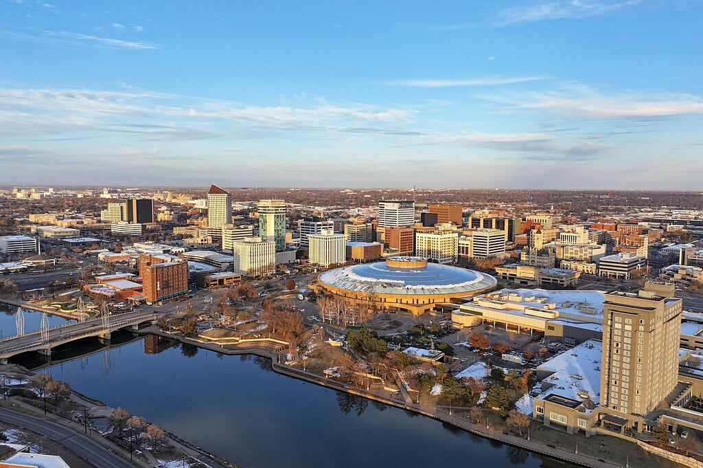
.jpg)

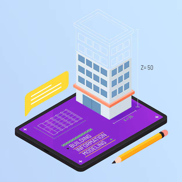
What is Building Information Modeling (BIM) & Why Does It Matters in Urban Planning?
BIM is a digital process that creates and manages all the information about a building or infrastructure project. Unlike traditional 2D drawings, BIM creates detailed 3D models containing data about every structure component. This includes information about materials, costs, timelines, and how different parts work together. BIM and architecture have become inseparable in modern practice.
Architects use BIM in designing buildings that prioritise aesthetics, functionality, energy efficiency, and cost-effectiveness. Utilising BIM enables urban planners to:
- Catching mistakes early: Early detection of design flaws and construction clashes during initial project phases enables budget savings in future construction costs.
- Reducing rework: Accurate instructions combined with 3D visuals decrease the likelihood of mistakes in the construction project.
- Improving teamwork: Real-time information sharing enables teams to collaborate better for enhanced productivity.
Key Ways BIM is Transforming Smart Cities
-
Better planning decisions: Planning decisions become more accurate through BIM because urban planners use exact simulation data instead of making assumptions.
-
Reduced waste: BIM implementation reduces project waste and construction rework through its capability to detect conflicts before they become issues.
-
Improved sustainability: BIM tools assess energy utilization and water usage, as well as carbon dioxide emissions, through their analysis to help achieve more sustainable urban development.
-
Enhanced public services: BIM in design construction and operations leads to better public service management because it provides full control of parks, transportation system,s and utility networks
-
Faster response to emergencies: Response times for emergency services become faster due to the availability of detailed building information.
Integration of BIM with Other Smart City Technologies
Digital Twins for City-Scale Simulations
One of the most exciting developments is digital twin technology. A digital twin is a virtual replica of a physical object or system. In city planning, digital twins can represent entire neighbourhoods or cities.
There are several types of the digital twin systems:
- Component twins: Represent single items like traffic lights or water pumps
- Asset twins: Model entire buildings or bridges
- System twins: Simulate connected networks like transportation systems
- City twins: Create virtual versions of entire urban areas
Digital twin software allows planners to run simulations showing how changes might affect the city. For instance, they could see how a new apartment building might change traffic patterns or how a flood might impact different areas.
IoT (Internet of Things) & AI for Real-Time Monitoring
BIM achieves its greatest potential through combinations with sensors and Internet of Things (IoT) devices. Through the integration of sensors, BIM models receive data that tracks items such as traffic flow, air quality and water usage. AI performs analysis of received information to produce suggestions and future predictions about potential complications.
Cloud-Based Collaboration for Multi-Stakeholder Projects
BIM and smart city projects involve many different groups – architects, engineers, city officials, utility companies, and citizens. Cloud-based BIM platforms allow all these stakeholders to collaborate, share information, and work together even in different locations.
Challenges in BIM Implementation for Smart Cities
While BIM offers many benefits for smart cities, there are challenges to overcome:
-
Cost
Implementing BIM requires significant investment in software, training, and hardware. Many mid-sized cities face challenges covering these initial costs. In some cases, cities that made early investments in BIM have seen substantial savings over time through fewer errors and improved coordination. Several cities are turning to phased implementation and public-private partnerships to manage expenses.
-
Technical Expertise
The shortage of BIM specialists creates barriers for many municipalities. Singapore addressed this by creating a national BIM training programme that certified thousands of public employees. Some cities are also forming shared service agreements to pool resources for hiring specialised experts across multiple communities.
-
Data Security
BIM models contain detailed infrastructure information that could become security risks if compromised. Cities must implement robust cybersecurity measures, including encryption, secure access protocols, and regular audits.
-
Standards
The lack of universal BIM standards creates compatibility issues between software platforms and departments. The ISO 19650 series provides guidelines, but global adoption varies. Without consistent standards, cities face increased costs from data conversion and collaboration difficulties. Industry groups are working to create open BIM formats compatible with different software platforms.
Future Trends in BIM for Smart Cities
-
AI Integration for Automated Design
AI algorithms analyze BIM data to suggest optimal solutions based on thousands of previous projects. In Helsinki, an AI-powered system analysed traffic patterns and suggested modifications that reduced projected congestion. As machine learning advances, these systems will move from making simple recommendations to generating complete design alternatives.
-
Expanded AR/VR Visualization
Rather than viewing plans on screens, stakeholders can now "walk through" proposed developments using VR headsets. Boston's planning department uses AR to display proposed buildings in their future locations through smartphone cameras, giving residents realistic previews of neighbourhood changes.
-
Increased Citizen Participation
Cities are creating simplified BIM interfaces for non-technical users. Barcelona's "Digital Twin Citizens Platform" lets residents see planned developments, suggest modifications, and simulate how changes might affect their daily lives. Some municipalities have "citizen scientist" programs where residents contribute local knowledge to enhance BIM models.
-
Climate Resilience Planning
Cities use BIM to model flooding scenarios, heat island effects, and extreme weather impacts. New York City created a comprehensive flood resilience model after Hurricane Sandy that simulates how different infrastructure adaptations would perform under various storm scenarios, helping prioritise investments in flood barriers and green infrastructure.
.png)
.png)