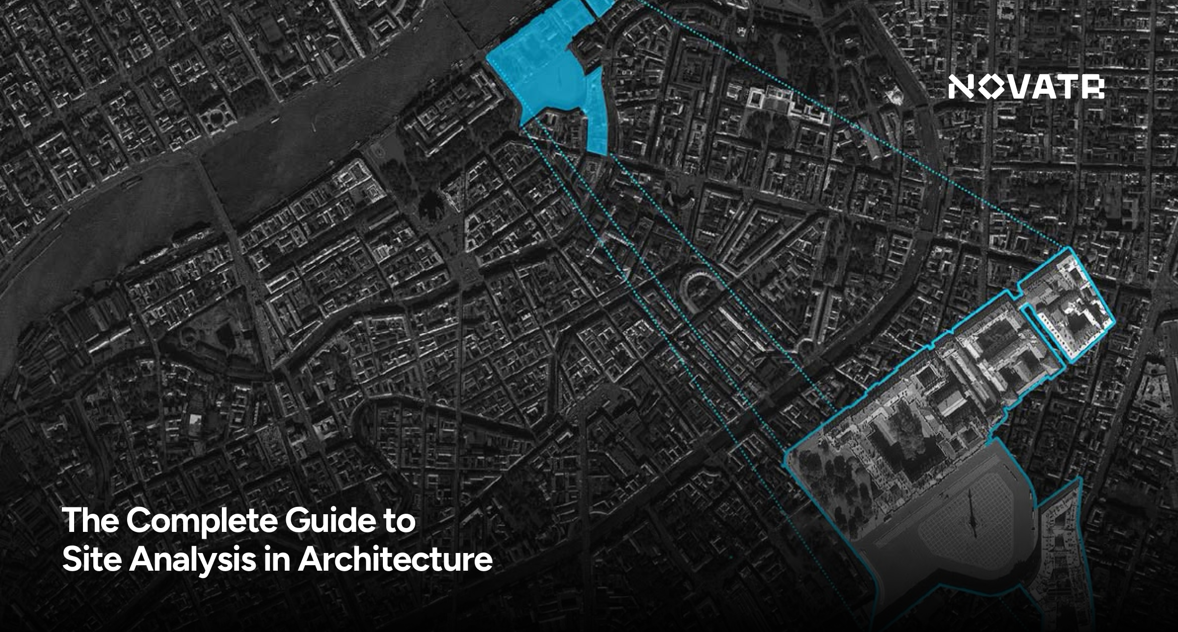
.jpg)

What is Site Analysis in Architecture?
Site analysis architecture represents the evaluation method applied to a planned construction site. The process for collecting data encompasses physical, environmental, cultural, and legal factors affecting building design and construction.
Architects use architectural site analysis diagrams as visual tools to present significant data collected from site analysis studies. Visual representations such as sun path charts, wind direction, noise maps, slope analysis, vegetation distribution, and additional information assist in this evaluation.
A properly organized site analysis sample enables all stakeholders to evaluate site conditions while enabling designers to make decisions using factual insight.
Why Site Analysis is Crucial Before Designing

Architectural site analysis practices that skip steps or show haste normally result in design problems requiring redesigns and inappropriate layout options, as well as permit violations. This important step should never be overlooked for the following reasons:
- Maximizes Design Efficiency: Design efficiency reaches maximum potential by correctly planning building orientation by learning about natural light, wind patterns, and regional topography.
- Ensures Legal Compliance: A site map architecture with correct design guarantees legal compliance by detecting zoning boundaries and all height and setback requirements.
- Improves Sustainability: The collection of natural resource data enables the selection of sustainable solutions that reduce overall energy consumption in the future.
- Supports Client Needs: A proper site analysis diagram highlights both existing obstacles and untapped opportunities so projects can better fulfill client requirements.
- Avoids Future Risks: The evaluation process detects potential coastal flood zones, unstable soil conditions, and noise-generating elements before construction begins.
Applying site analysis architecture forms the fundamental elements necessary to develop a project that functions properly in a legal setting while being contextually responsive. The blog Passive Design Strategies for Composite Climate delivers practical information linking climate data to architectural choices for projects in variable climate areas.
Types of Data Collected During Site Analysis
To conduct a well-rounded site analysis example, the following categories of data are typically gathered:
1. Climatic Conditions
- Temperature, rainfall, humidity, sun path, and wind direction.
- Important for determining HVAC needs and passive design strategies.
2. Topography
- Slope, elevation, and contour lines.
- Affects drainage, foundation design, and building access.
3. Natural Features
- Trees, water bodies, rock formations, etc.
- Informs preservation or removal during site preparation.
4. Existing Infrastructure
- Roads, utilities, drainage systems, and nearby structures.
- Aids in planning connections and utilities.
5. Legal and Regulatory Factors
- Zoning laws, easements, and building codes.
- Necessary for developing a compliant design.
6. Cultural and Historical Context
- Surrounding architectural styles, heritage buildings, and community layout.
- Helps in creating contextual designs.
7. Human Activity
- Pedestrian and vehicle movement, noise levels, and safety concerns.
- Informs building access, security, and spatial planning.
This information is typically visualized in architecture site analysis diagrams, making it easier to present during design discussions or client meetings.
Step-by-Step Process of Conducting a Site Analysis

A practical guide exists for carrying out architectural site analysis as follows:
1. Define Project Scope
Identify the building objective alongside user profiles and project targets that the client establishes. The process defines which data points hold the greatest importance.
2. Study Site Location and Boundaries
The researcher must gather legal documents using title deeds and site map architecture references to establish precise boundaries.
3. Collect Climatic and Environmental Data
Online platforms, together with weather stations, enable the collection of sun path data, wind records, and information about rainfall and temperatures.
4. Observe the Site Physically
Conduct a site visit. Use your camera to document footage and mark visible site components, including trees, slopes, and drainage outlets.
5. Document Infrastructure and Accessibility
The assessment includes identifying transportation routes from public transit networks and documenting water supply, electrical, and sewer services.
6. Produce a Diagram that Analyzes Architectural Site Information
The analysis data should be presented through wind rose diagrams, shadow analysis, and context mapping systems.
7. Interpret Data to Inform Design
Research site characteristics to uncover its advantages and disadvantages, and possible development opportunities and risks. Building orientation, along with form and layout, will be influenced by this analysis.
Through this approach, designers make their decisions about design based on raw data. The example of a clear site analysis sample helps maintain smooth interactions between all stakeholders involved in the project.
Best Tools & Software for Site Analysis

Modern site analysis tools make the process more efficient, accurate, and presentable. Here are some of the best tools used in the field today:
1. Google Earth and GIS Platforms
- Useful for aerial views, terrain mapping, and large-scale site analysis in landscape architecture.
2. AutoCAD and Revit
- Allows detailed site drawings and overlays of topographical information. Read more about AutoCAD and Revit in detail.
3. SketchUp
- Helpful for massing models and solar studies.
4. Climate Consultant and Ladybug Tools
- Provides climate analysis for integrating passive design strategies.
5. Drone Surveying
- Captures current site imagery for highly accurate models and maps.
6. SiteRecon and UrbanFootprint
- AI-powered site analysis tool for large-scale urban or commercial projects.
Combining traditional on-site observation with these digital tools results in a more comprehensive example of site analysis in architecture used in computational design, such as Rhino and parametric plug-ins, professionals can go beyond basic topography and zoning maps.
.png)

.png)