.jpg)

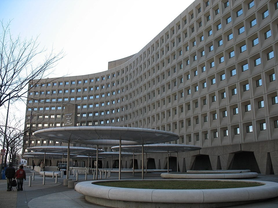
Importance of Learning Software in Urban Planning
In an era of real-time information and 3D visualization, and simulation technologies, the ability to handle urban planning software tools has become an essential expertise. Here's why:
1. Better Decision-Making
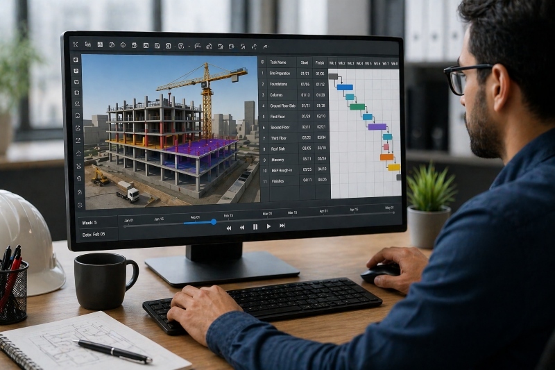
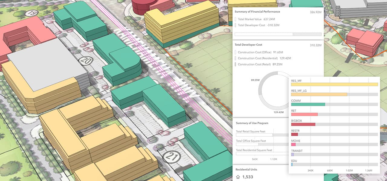
Urban planning analysis software enables practitioners to model zoning, land use, and infrastructure scenarios. Planners can make evidence-based decisions coherent with long-term community interests and sustainable urban planning strategies.
2. Enhanced Collaboration
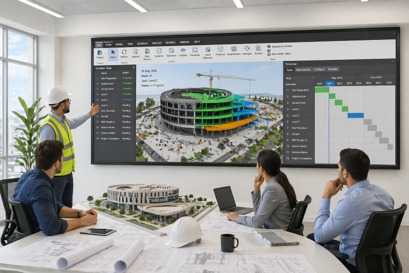
Software used in urban planning, such as BIM and cloud-based GIS systems, allows real-time updating, version control, and sharing access between architecture, engineering, and governmental organizations.
3. Public Engagement Made Easy
Interactive 3D urban planning & design software for city planners enables to increase of transparency through visual models of proposed developments. Such images assist communities in reacting and comprehending suggested alterations.
4. Faster Project Delivery
Urban planners may automate design, documentation, and approval processes with automation capabilities in software such as Civil 3D or Revit. This reduces project schedules for urban infrastructure
5. Career Growth
Learning the best software for urban planning, such as ArcGIS Urban, AutoCAD, or UrbanFootprint, makes professionals more employable. The global urban planning common software market is projected to reach $0.24 billion by 2033.
Top 10 Urban Planning Software for 2026
The best urban planning software is used in government agencies, consultancies, or architecture studios. These applications ensure you stay more precise and efficient when working on multi-layered urban ventures.
1. Revit

Used For: BIM modelling, structural analysis, parametric design
Cost: $2,041 per year for one user
Revit is an effective BIM-centered platform that establishes architecture, engineering, and city planning within the same setting. Its parametric modeling features and collaboration with Civil 3D and BIM 360 necessitate its use in large-scale, mixed-use developments and government infrastructure projects.
Also Check out, best revit courses for civil engineers in USA.
2. AutoCAD

Used For: 2D/3D drafting of zoning plans, roads, and layouts
Cost: $1,420 per year for one user
AutoCAD is the standard drafting software for urban planning firm worldwide. Its comprehensive tool sets accurately aid in zoning, transportation design, and layout development. The compatibility of AutoCAD with the DWG files provides easy integration with consultants, municipal authorities, and contractors.
3. Civil 3D

Used For: Site grading, road networks, stormwater systems
Cost: $1,944 per year for one user
Civil 3D is an extension of the traditional CAD tools to civil engineering capabilities such as terrain modeling, corridor design, and stormwater modeling. It simplifies the process when urban planners deal with highways, land subdivisions, and drainage.
Also check, top autodesk civil 3d courses in USA
4. BIM 360 (Autodesk Construction Cloud)

Used For: Cloud collaboration, document management
Cost: $496 per year for one user
BIM 360 enables collaboration in real-time in distributed urban planning teams. It stores design files centrally, permits version control, and enables live coordination among architects, planners, and engineers. It is essential for megaprojects or government planning departments that require multiple stakeholders.
5. Tekla Structures

Used For: Structural BIM for bridges, flyovers, civic infrastructure
Approx. Cost: $1,033 - $6,610 per year for one user
Tekla Structures is a better choice for the more in-depth modeling of intricate structural features, which is why it is suitable for modeling bridges, flyovers, and transport nodes. It allows for the detailing of steel and concrete and goes well with the stages of construction. Common in urban development is infrastructure-intensive.
Also Check out, best tekla structures courses in USA
6. SAP2000

Used For: Structural analysis of urban infrastructure
Cost: $2,918 - $17,504 per year for one user
SAP2000 is a software that offers advanced structural modeling of buildings, footbridges, and other civil infrastructures. Its compliance with code and international design requirements has necessitated its use in assessing the performance of loads and seismic performance in high-density urban settings.
Suggested Read - 5 Best Software Courses For Urban Planners in USA
7. ArchiCAD

Used For: Architectural planning in civic and mixed-use zones
Approx. Cost: $361 - $1,024 per year for one user
ArchiCAD has a reputation for an easy-to-use BIM interface and powerful architectural design tools. It is suitable for public buildings, schools, and housing in an urban environment due to its capacity to produce intricate parametric models.
8. Navisworks

Used For: Clash detection, project coordination
Cost: $1,145 per year for one user
Navisworks allows urban planners to identify the clash among the architectural, structural, and MEP elements before the construction process commences. When used with Revit or AutoCAD, it reduces rework and delays in urban projects by offering correct coordination and realistic buildability simulation in the real world.
Also checkout, top navisworks courses & Trainings in USA
9. Vectorworks Architecture

Used For: Architectural and landscape design for urban zones
Vectorworks integrates 2D drafting, 3D modeling, GIS integration, and BIM processes. These tools used in urban planning and applied in the design of parks, open spaces, and streetscape design. It is particularly useful in landscape-based projects and green infrastructure planning in urban areas.
Approx. Cost: $468 - $971 per year for one user
10. Staad.Pro

Used For: Seismic, structural integrity, and safety compliance
Cost: $3,682 per year for one user
Staad.Pro votes on in-depth structural examination of urban structures so that they become certain of seismic and safety codes. It is commonly applied to validate resilience in high-rise projects, transport hubs, and industrial and residential buildings in cities.